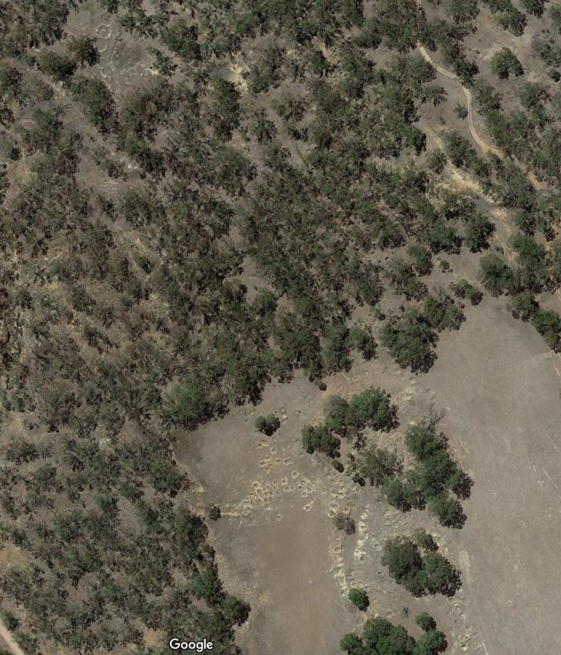
Google Maps Satellite View (or Google Earth) is a technology that can be very helpful in locating places of interest with a view to potentially visiting (subject, of course, to having the necessary permission).
This image of an area in the Central Goldfields Region of Victoria clearly shows shafts dug on an alluvial gold bearing area in the 1800s, but do you also see the probable cyanide vats and puddlers?
(Hint. It’s towards the top left of the image!).